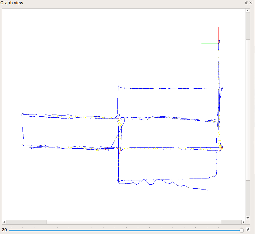
Hello, we are currently working on our degree project about Visual SLAM and we are working with RTAB-Map.
We are trying to export the trajectory in order to compare It with the real one and we want to plot both trajectories together.
In every file we got multiple columns and we don't understand what means each one.

We want to export this exact info pose.
Also could you explain us what the horizontal bar at the bottom of the image means?
Thank you
