How does the export odometry -> Google Earth (.kml) work?

classic Classic list List threaded Threaded
2 messages Options
Reply | Threaded
Open this post in threaded view
|

How does the export odometry -> Google Earth (.kml) work?

Genozen
Hello, I'm quite curious how does the rtabmap plot the odometry onto the Google Earth (.kml)

is it EKF between local odometry and GPS that achieved this?


Reply | Threaded
Open this post in threaded view
|

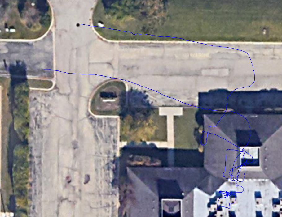
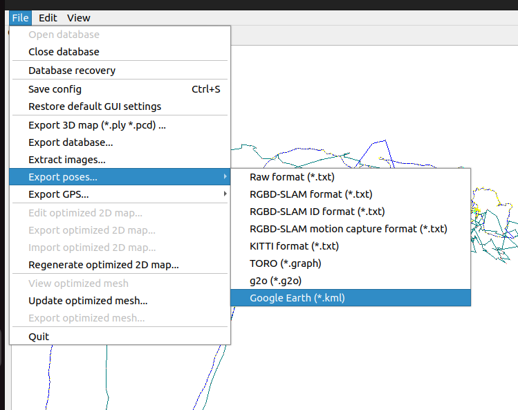
Re: How does the export odometry -> Google Earth (.kml) work?

matlabbe
Administrator

GPS values are used to align the path (like when we align the path to a ground truth, minimizing the distance of corresponding poses) to some GPS coordinates (it is not super accurate unless it is a highly accurate gps, e.g., rtk), they are not used in the odometry estimation.

GPS values could be used in graph optimization if you explicitly set Optimizer/PriorsIgnored to false.