Login  Register

How to convert between world coordiantes and grid coordinates

classic Classic list List threaded Threaded
2 messages Options Options
Embed post
Permalink
Reply | Threaded
Open this post in threaded view
| More
Print post
Permalink

How to convert between world coordiantes and grid coordinates

emontero
3 posts
This post was updated on Sep 13, 2021; 4:51am.
Hello.

I am mapping with RTAB-Map, I save the map in 2D with rosrun map_server map_saver -f my_map_1 map:=/rtabmap/proj_map.

After complete mapping, I perform localization rosrun realsense2_camera opensource_tracking_tk_localization.launch 

Now, I am implementing a path planning algorithm, and I need to get the robot location in (x, y) coordinates within the map. Also, where the origin of the map is into a grid of cells, and the actual width of the map created.

I want to know if I must subscribe to some topic and get the information I need for the path planning, in this case I am using the A* algorithm with inputs like start node and goal node.

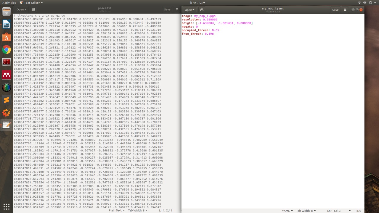
This is the .yaml file and the poses.txt file that I have obtained.

Ubuntu 18.04
D435 Realsense camera


Reply | Threaded
Open this post in threaded view
| More
Print post
Permalink

Re: How to convert between world coordiantes and grid coordinates

matlabbe
Administrator
4446 posts
Hi,

you need the map, its parameters (resolution, origin) and the current position of the robot (through TF /map -> /base_link). With those info, you can know in which cell you are, and you can translate any cell position into a metric position. If you do grid-based A* planning, you don't need the pose-graph, unless I didn't understand exactly what is your planning approach.

See also http://wiki.ros.org/global_planner?distro=noetic

cheers,
Mathieu