Hi,
Currently I am using rtabmap using wheel odometry and 3D lidar.
I am trying to extend the map I have. During that session I face two issues.
1) When there is an angular command the localisation drifts so the mapping gets screwed up. Not sure which parameter to tune to avoid drifting of localisation.
I will attach the link for the video regarding this issue.
2) I did a small hack for now for first issue to stop mapping when I turn. Just map in the straight line.
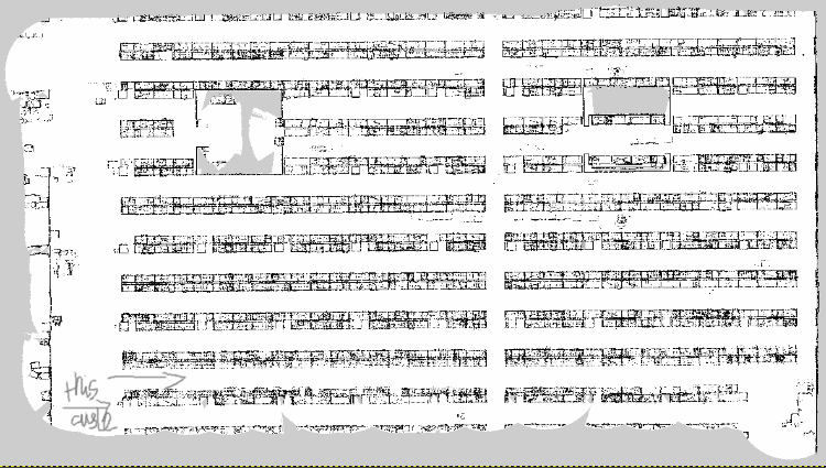
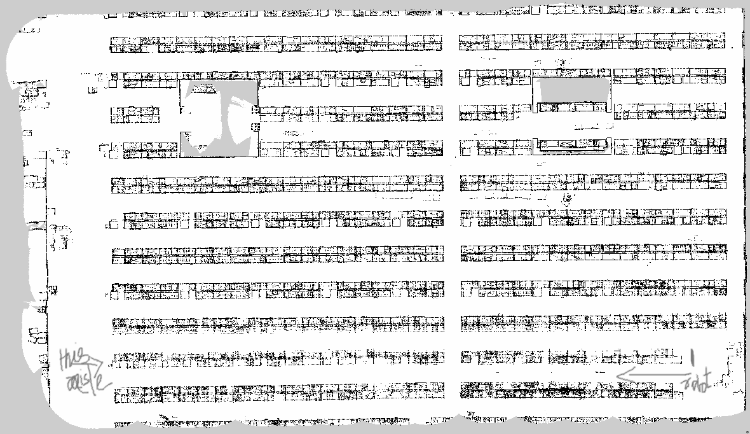
while trying to do mulit session mapping. The occupancy grid which was mapped previously started to disappear, slowly. Not sure why that occurs also dont really know which parameter I need to take a look.
I will attach the link for the video, config and 2d map as well.


There are two videos - rtabmap 1 for the issue 1.
rtabmap2 and map files related to issue 2.
launch files and config are same.
https://drive.google.com/file/d/1BxKQQ5eJuHf-nzJqvcckNP7h63Y1f80a/view?usp=sharing