odom_local_map coordinate system

classic Classic list List threaded Threaded
2 messages Options
Reply | Threaded
Open this post in threaded view
|

odom_local_map coordinate system

brigit

Is the /odom_local_map topic in the camera's local coordinate system? If so, is there a way to project those points in the global map coordinate system, perhaps using the transform used to update the robot's odometry?

I would like to be able to do point association between the global map and the current camera pointcloud, but they both need to be in the same coordinate system in order to do this.


Reply | Threaded
Open this post in threaded view
|

Re: odom_local_map coordinate system

matlabbe
Administrator
Hi,

/odom_local_map is in /odom frame:
$ rostopic echo /rtabmap/odom_local_map/header/frame_id
odom

To transform point clouds in some frame, see transformPointCloud functions in pcl_ros: http://docs.ros.org/api/pcl_ros/html/namespacepcl__ros.html

Note that /odom_local_map is the odometry local features map, not the actual map of rtabmap. Features of the current frame processed by odometry is in topic /odom_last_frame. When you run the 
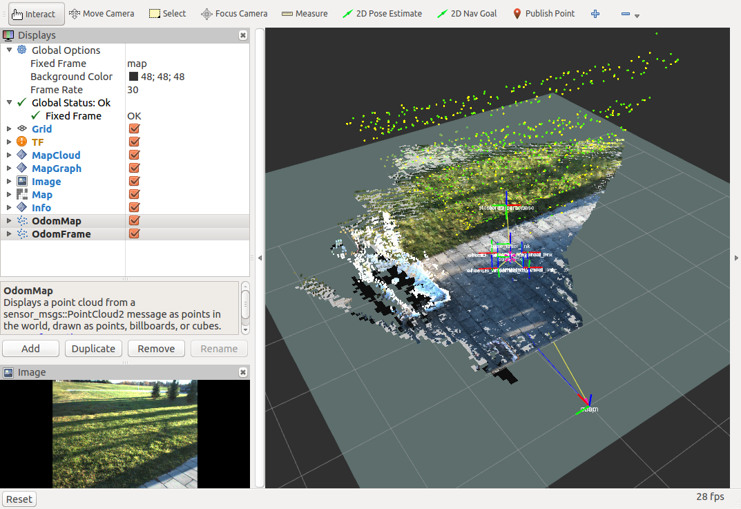
stereo outdoor demo, you can see /odom_last_frame and /odom_local_map shown in RVIZ:

green=current frame, yellow=local map


cheers