Re: Autonomous off road navigation
Posted by matlabbe on
URL: http://official-rtab-map-forum.206.s1.nabble.com/Autonomous-off-road-navigation-tp7396p7457.html
Hi,
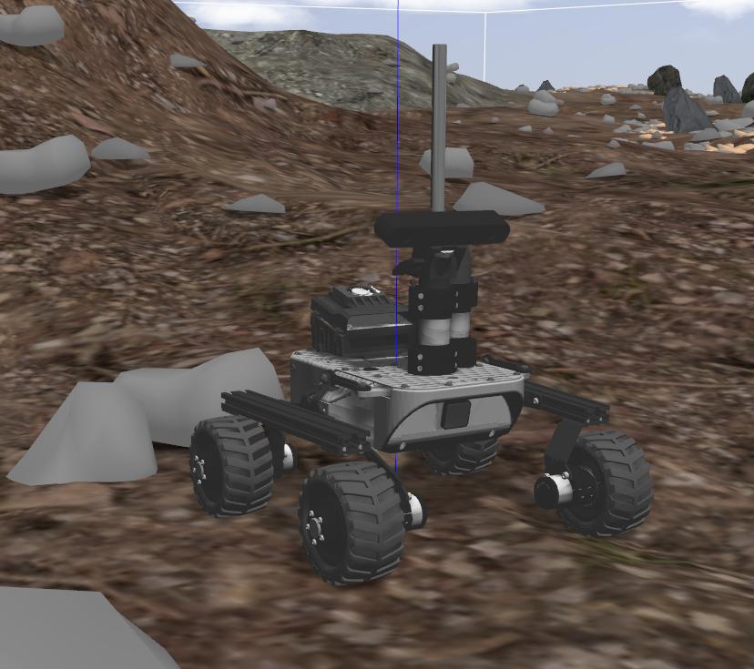
I just tried the simulator:
Here is an example how to launch rtabmap for this:
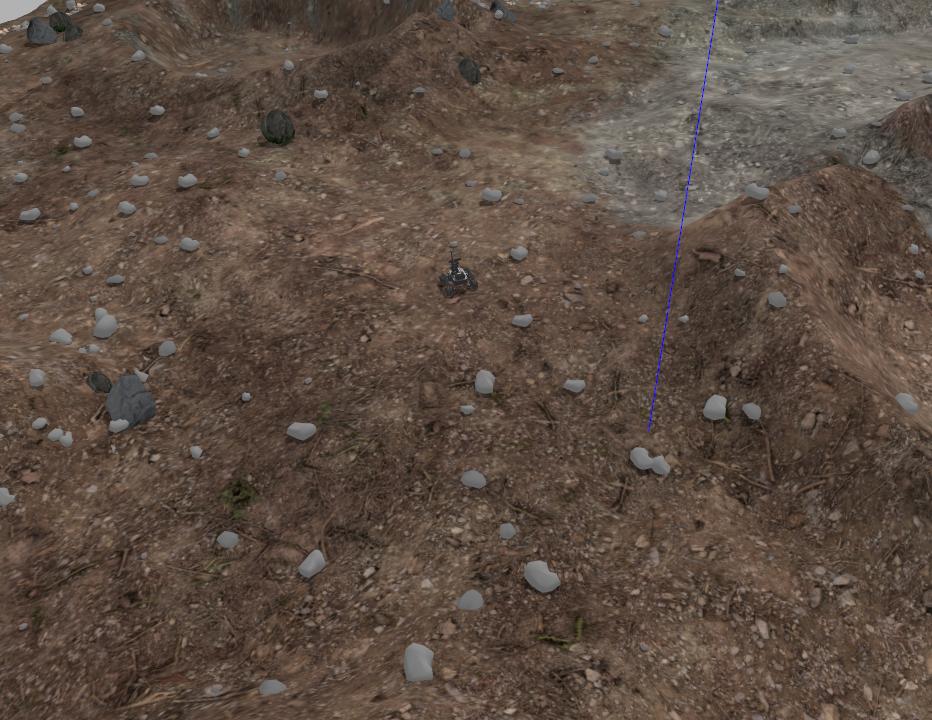
I did a small loop, the loop closure was detected.
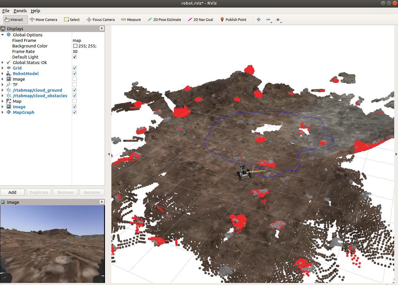
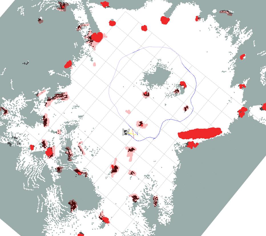
The rocks would be segmented in red. I didn't do any tuning for the segmentation, but most rocks seem detected. Here is the 2D occupancy grid map that could be used with move_base:
To get obstacles segmented for the local costmap, something like in this example could be done.
cheers,
Mathieu
URL: http://official-rtab-map-forum.206.s1.nabble.com/Autonomous-off-road-navigation-tp7396p7457.html
Hi,
I just tried the simulator:
Here is an example how to launch rtabmap for this:
roslaunch leo_gazebo leo_marsyard.launch
roslaunch leo_viz rviz.launch
rosrun teleop_twist_keyboard teleop_twist_keyboard.py

roslaunch rtabmap_ros rtabmap.launch \
   rgb_topic:=/zed2/left/image_rect_color \
   camera_info_topic:=/zed2/left/camera_info \
   depth_topic:=/zed2/depth/depth_registered \
   frame_id:=base_link \
   imu_topic:=/zed2/imu/data \
   wait_imu_to_init:=true \
   args:="-d"
I did a small loop, the loop closure was detected.
The rocks would be segmented in red. I didn't do any tuning for the segmentation, but most rocks seem detected. Here is the 2D occupancy grid map that could be used with move_base:
To get obstacles segmented for the local costmap, something like in this example could be done.
cheers,
Mathieu
| Free forum by Nabble | Edit this page |